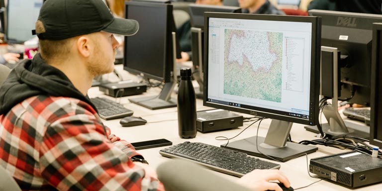
Geographic Information System (GIS) and Remote Sensing (RS) are rapidly growing sub-fields with applications in environmental science, national security, demography, intelligence, forestry, disaster assessment, environmental management, climatology, urban planning, criminal justice, food studies, and agriculture among other areas. IU Geography is the principal location of training in Geographic Information Systems and Remote Sensing at Indiana University Bloomington.
GIS + Remote Sensing
New Master's Program
Our Master of Geographic Information Science allows you to gain real-world skills that are in demand for 21st-century careers. Application opens April 17. Apply by June 30 for Fall 2025.
 The College of Arts